As is my habit, I look to see what football matches are going to play before I go to my local. If you’ve not spent time with English sports fans, you might need to run that through an English to English translator.
Today, amongst the page where I check to see who’s playing when, I noticed that Hartford Athletic of the USL Championship is playing in on Wednesday. (That was early Wednesday to me, reading in Central European Time.)
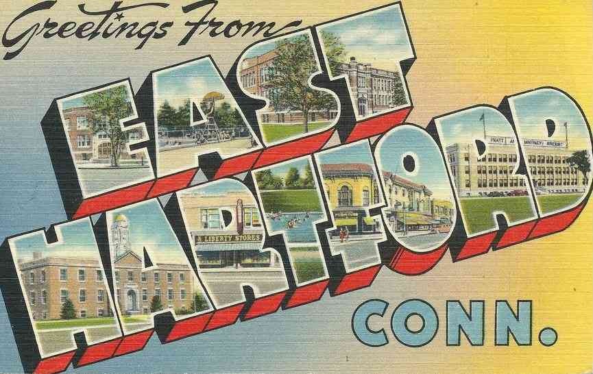
Being from East Hartford, and having spent a few nights there recently on drives between New England and West Virginia, I wondered where they play. At this point I’d be remiss in not applauding the team’s callback to the Hartford Whalers in color palette and superb logo, with serifs akin to the whale tail. The white space at the bottom of the A implies a whale tail with the lower serifs of the H.
I’ve explored Hartford on foot few times recently, visiting places I remember from my childhood, melancholic about the sad state of the city. I was not aware as a child how deeply the interstate highway system negatively affected the city. Like other smaller cities I know (Rochester, Worcester) it suffers at a scale unequaled in larger cities.
In surveys of worst interstates in the US, the 84-91 interchange is sometimes included. I’ve not found a recent list awarding this distinction but it’s not as if it has become magically better. If you’ve driven it, you know. If you’ve gone into the city from there, you know it is even worse at street level.
That’s not to make light of the destruction on larger cities — it is to note that a larger city has places where a lesser impact might be felt because the scale of that which remains undisturbed is different.
Urban cities of the north fare more poorly because of their tighter origin story. Boston, the de facto capital of New England, is a strong example of this.
But how sad it is that the Athletic is playing along the longest river in New England with no connection to it.
Trinity Health Stadium sits southeast of the Colt Firearms South Armory, one of the most iconic buildings of Hartford, it’s starry onion dome unlike any other in, I am guessing, the western hemisphere.
With other urban interstates being rolled back, worn out concrete carpets that they are, I looked at the map seeing how that setting could be improved. Yes, I am pitching the idea of removing Interstate 91. As I edit this, I’ve seen a mention of this idea.
Looking at the map this morning, the idea came suddenly. Remove I-91 between I-84 and US 5. Additionally, remove I-84 in East Hartford where it splits on the east to become US 5 and links with I-91 to the south.
It’s not prefect*, as I-84 is perpetually overwhelmed on the west of the Connecticut River but that might be eased by moving the stretch adjacent downtown and Dunkin’ Park (go Yard Goats!) from the south side of the ballpark to the northeast.
The other happy result of this will be to remove the insane web of limited access highway in East Hartford between Main Street, Pitkin Street, Connecticut Boulevard, and the river.
* Perfect would involve moving traffic further to the west but that starts to involve West Hartford, the wealthier counterpoint to East Hartford. And honestly, we can learn to live without that vehicle throughput. I would not wish to visit upon tree-filled West Hartford what befell less advantaged neighborhoods during the over-expansion of automotive mobility in the 1950s.
† I had not known until today that Rentschler Field is gone. The name lives on as the name of the pitch inside Pratt and Whitney Stadium. My father worked for Pratt and Whitney for 35 years. I have memories from that tarmac.

